Marble Mountain (13,266′)
ROUTE: East Ridge
RT DISTANCE: ~7 miles
RT GAIN: ~3,500′
RT TIME: ~7.5 hours
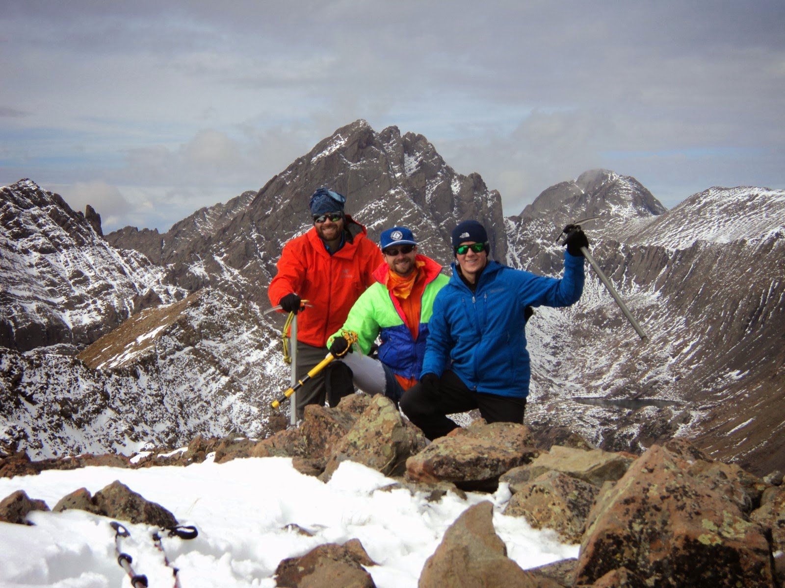
CLIMBER(S): Dan McCool, Ben Shulman, Jeff Golden
I’ve always held the belief that the people with whom you share the trail are the best part about hiking. Lifelong bonds are made in the hills. The common goals, the shared risks, the glorious successes and the crushing defeats — mountaineering pulls us together in a truly profound way.
I’ve formed one of those lifelong bonds with Dan. Ben, too, but we used to live together so I’ve had my fill. Though our priorities have shifted and we’re no longer able to meet in the mountains nearly every weekend, when we get together it’s always as if nothing has changed. That goes for most of the folks I regularly hiked with in 2011-2012 while we all raced toward the 14er finish line. Unfortunately, as it often does, life has taken us in different directions.
When the idea materialized of a reunion hike on Marble Mountain, I knew it was something not to be missed. Prior commitments and injuries got in the way of it being fully attended, but still, getting out with Ben and Dan is about as perfect a day in the mountains as a man can reasonably expect. It’s guaranteed to be a memorable outing.
We arrived at the Rainbow Trail/South Colony Lakes Road junction late Friday night after a necessary pitstop at Phantom Canyon Brewery. Terrified of the swarms of ATV-riding Bubbas in camouflage, Dan and I opted to sleep in the back of his truck. Ben, the bravest of our trio, pitched his bivy sack off to the side of the road. Expecting an easy day, we decided on a gentlemanly start of 7:30 a.m.
The morning began with a short jaunt in the wrong (…but right…) direction on the Rainbow Trail. It’s an odd feeling walking away from the mountain you’re trying to summit. Luckily it’s less than ¼-mile before you take a right onto a climber’s trail and start hiking up Marble’s East Ridge.
The trail is strong in places, and impossible to follow in others. The line is pretty obvious, however; as long as you’re hiking upward and staying near the ridge crest, you can’t go wrong. Good thing, too, as a heinous amount of deadfall had us weaving every which way. We were sporting dozens of new nicks and cuts by the time we finally emerged from treeline. Oh well. Bushwhacking builds character.

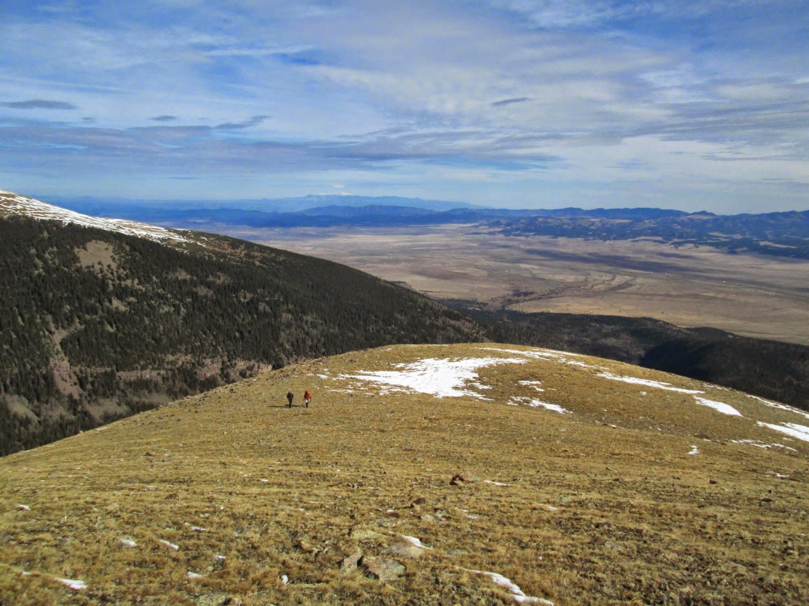
Snow was unavoidable for a couple hundred feet after treeline, about six inches over slick tundra and wet rocks. This was the most tedious part of the route. Higher on the ridge the wind had blown it mostly clear, and in many ways it was reminiscent of summer. Dry tundra, T-shirts, sweat and size 14 boys jorts.
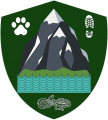
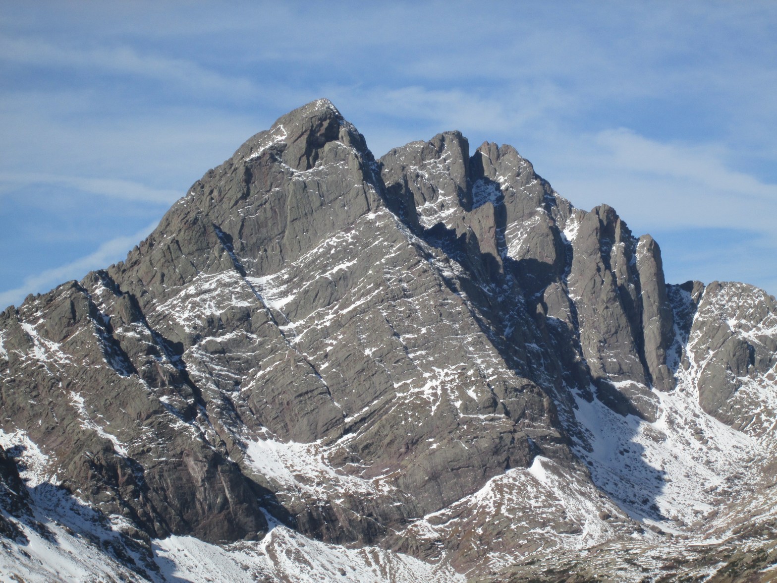
The walk to the summit probably took an hour longer than it should have thanks to the copious amount of Crestones photos that needed to be taken. Marble is a benevolent lump of tundra, requiring only a very minor false summit before the ridge ends in the true highpoint. After drooling over the Crestones all morning, we were pleasantly surprised to see that the views in the other directions were just as breathtaking.
It was cool to see Dan reach the top. He hadn’t been on a high-altitude summit hike in nearly a year, and he wore a child-like expression of wonder on his face. It was a great reminder not to take these adventures for granted. Going out most weekends, it’s easy to lose perspective on what drew us to the hills in the first place. Dan’s awe and joy after a lengthy time away were palpable.
We lounged on the summit for about an hour, drinking a couple beers and watching a storm roll in over Kit Carson and the Crestones. If possible, the clouds made the Sangres even more beautiful.

We started down the deceptively long ridge just as the first flurries were starting to fly. We stayed well ahead of the full brunt of the storm. Regardless, it was simply a tundra stroll back to treeline and the trail. Many stops were again necessary for even more photos of the Crestones.
With a light mist falling back at the truck, we decided to delay our planned post-hike beers until back in Westcliffe. South Colony Road was much rougher than I remembered, but we made it safely down the 2.5 miles to the 2WD trailhead without incident. We got to-go pizzas from Tony’s (the Western is the best BBQ chicken pizza I’ve ever had) and popped open our beers at an undisclosed and probably illegal location with great views of the Sangres. Great ending to a much-needed jaunt with old friends!


#mannerfacts Ben cheated, wore leggings underneath his jorts.
LikeLike